

Faster surveying, quicker results
yet retaining quality
INFRASTRUCTURE & ENGINEERING
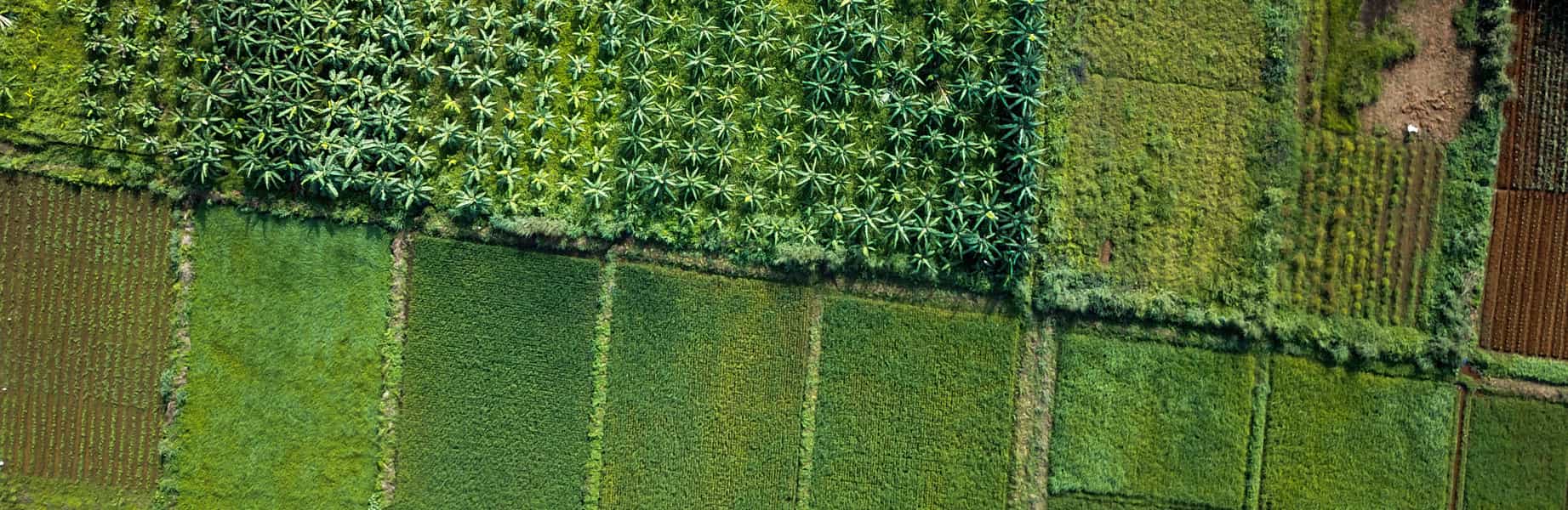
Reaching farming goals
AGRICULTURAL DEVELOPMENT

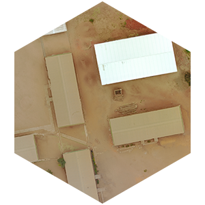
Providing detailed school mapping
EDUCATION PLANNING
What we provide

Discover our datasets
Featured datasets
Aerial Photography
Orthophotos

Elevation Models
DSM/DTM

Topography
Cartography

3D Models
Pointcloud
We believe that
we can make a difference
Much of Africa is still unmapped, often outdated or simply not detailed enough. With the use of new drone technology it is now possible to quickly capture detailed and accurate mapping in both 2D and 3D efficiently. This creates an opportunity to empower individual pilots to capture data locally and carry out the analysis using available technology at considerably lower costs.
Drones today are capable of carrying out both 2D and 3D topographic surveys and mapping exercises helping people to map large areas in a quick, cost effective manner providing hard data that helps expedite workflows in a variety of commercial and humanitarian settings.
Drone mapping use cases by Industry include: construction, land surveying, real estate, mining, inspection, agriculture, forestry, emergency management, education and health....
We have expertise in photogrammetry, orthophoto production, DSM / DTM surface and terrain modelling, RTK GPS ground control positioning, pointcloud production and contour mapping.